How Drones Help in Managing Forestlands Forests are crucial to the survival of many animal and plant species. Additionally, they serve as a natural buffer against natural disasters such as floods and landslides. Conserving forests protects diverse ecosystems and wildlife. It also maintains a sustainable timber supply and a reliable water supply for future generations.… Continue reading Drones
Category: Drone Photography
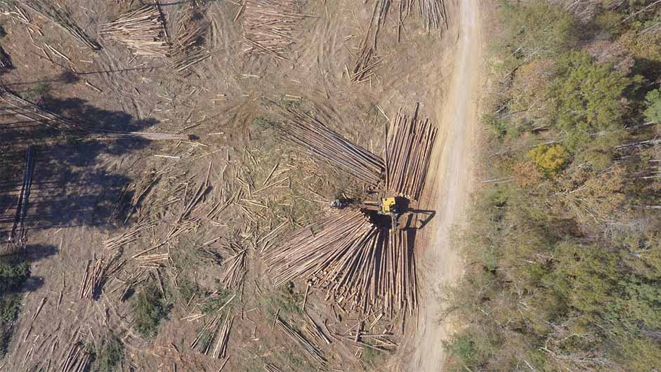
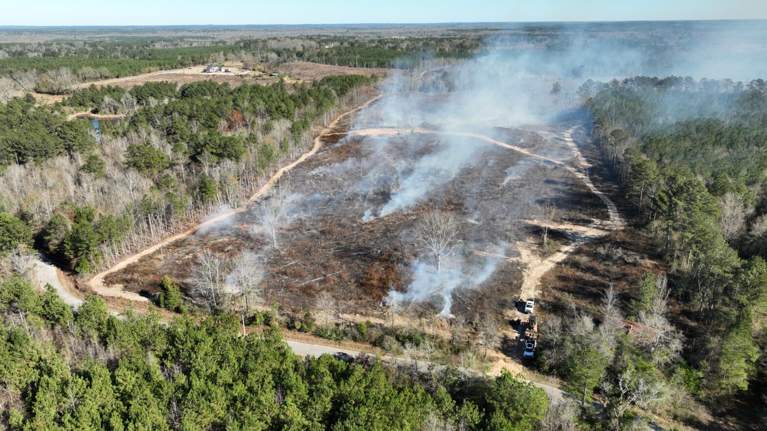
Drones are revolutionizing the way we manage our forests. With their ability to cover large areas quickly, they provide essential data on tree health, growth rates, and overall forest health. Equipped with cameras and sensors, they can detect potential fire hazards and identify invasive species that threaten the ecosystem. Moreover, drones help prevent illegal logging activities and support reforestation efforts in areas that have suffered from deforestation. By using drones in forestry management, we can enhance the efficiency and effectiveness of our practices, reduce costs, and minimize environmental impact. It’s time to take advantage of this incredible technology and take our forest management to the next level.
Drones in Forest Management
How Drones Help in Managing Forestlands Forest conservation plays a significant role in preserving the natural habitat, minimizing the effects of global warming, and providing essential resources, such as timber and fresh water. Landowners are primarily responsible for maintaining and managing forestlands, which can be challenging and time-consuming. Fortunately, drones have become an increasingly popular… Continue reading Drones in Forest Management