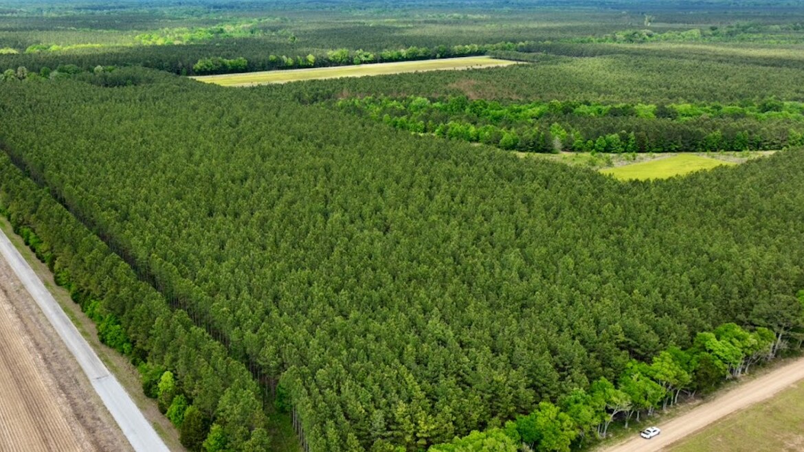
Landowners need answers about their timberland — not just photographs of it. At Southeast Forestlands, aerial imagery is one tool we use within a broader, independent forestry consulting practice. Flights are flown by a Registered Forester (Mississippi & Alabama) and FAA Certified Remote Pilot, then interpreted through the lens of timber management, not photography. The work that follows — timber sale representation, forest management plans, timber appraisals, reforestation oversight, and prescribed burning — is what the imagery is meant to support.
The reason to hire Southeast Forestlands instead of simply hiring someone with a drone is straightforward: a flight is only useful if the person interpreting it understands what they are looking at and can verify it on the ground. As a USDA Technical Service Provider working only for the landowner — never the mill — interpretation comes from forestry experience, not equipment.
Educational Scenario — Using Aerial Mapping Before Fieldwork
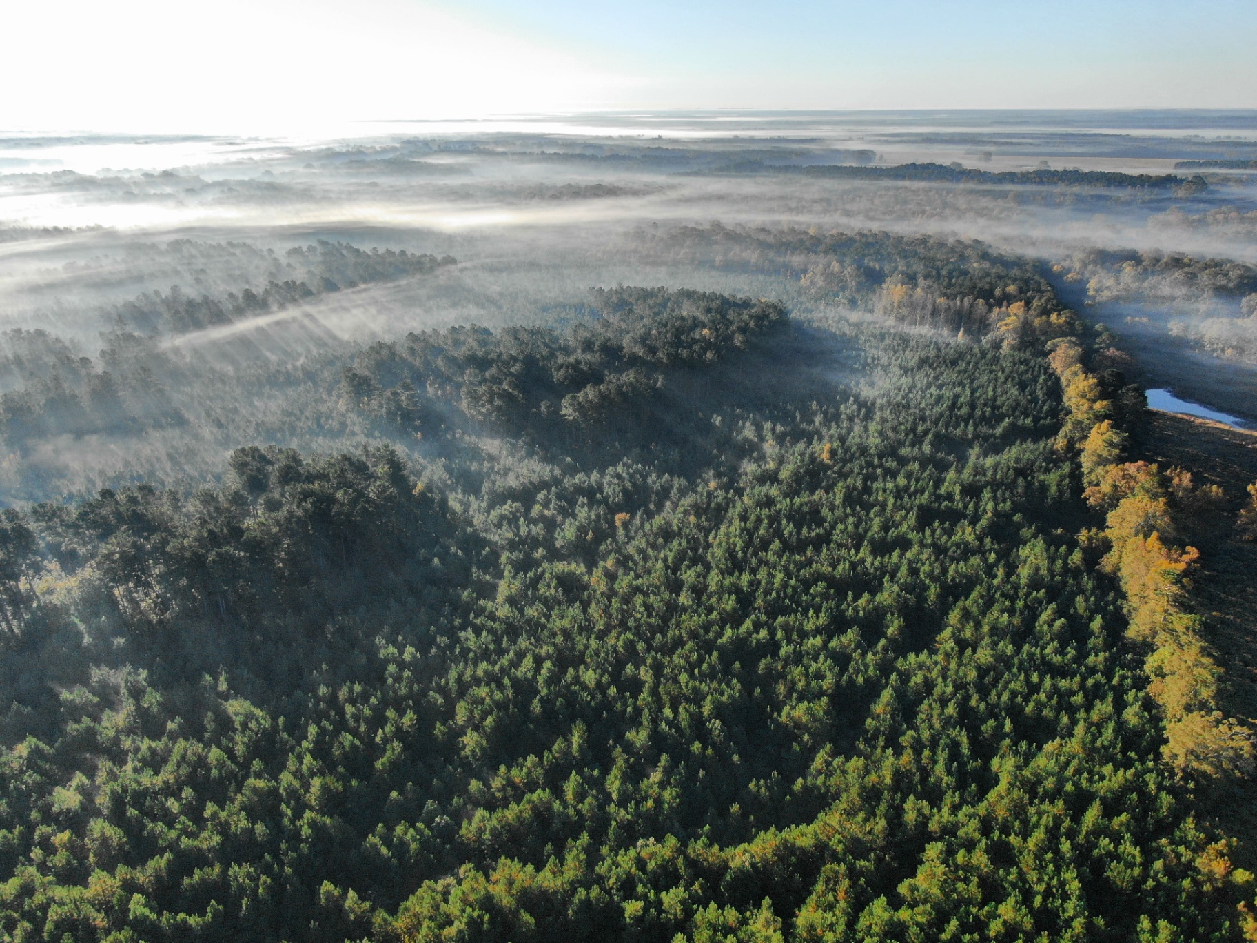
Example forestry scenario for local landowners.Before crews walk a tract, aerial imagery can help a consulting forester see stand boundaries, interior road conditions, drainage patterns, and areas that may warrant a closer look on the ground. Depending on the terrain and the questions the landowner wants answered, a flyover can inform where to focus cruise plots, how to plan access, and what conditions may affect operations. What the imagery shows always has to be confirmed by fieldwork, and every decision depends on the specific tract, weather, and the landowner's objectives.
How Aerial Imagery Supports Forestry Decisions
Every flight is tied to a forestry decision a landowner is trying to make. Across the tracts we manage in Mississippi and Alabama, aerial imagery can support:
- Timber sale preparation — stand layout, deck and access planning, SMZ identification
- Harvest progress monitoring and BMP observations during active logging
- Forest management plan development, updates, and stand mapping
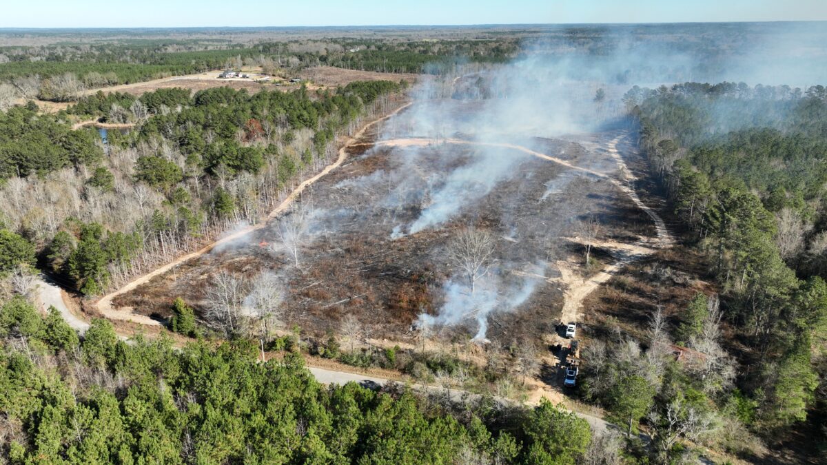
- Prescribed burn planning, firebreak layout, and post-burn evaluation
- Reforestation survival checks and regeneration evaluation
- Timber trespass investigations and unauthorized-cutting documentation
- Storm damage assessment after hurricanes, tornadoes, and ice events
- Wildlife habitat review — food plots, openings, edge feathering, longleaf restoration sites
- Access planning — woods roads, gates, culverts, and water crossings
What Drone Imagery Can Reveal Before a Ground Visit
A short flight over a tract often surfaces conditions that would take a full day to find on foot. Common observations on properties we manage include:
- Washed-out roads, eroded crossings, and woods roads in need of daylighting
- Beaver flooding and rising water lines around timber
- Wind damage, blow-down, and crown breakage after a storm
- Hardwood encroachment overtopping young pine
- Invasive vegetation — cogongrass, privet, kudzu — spreading along edges
- Active or recent harvest activity, including off-tract cutting
- Reforestation gaps and areas where seedling survival is poor
- Drainage issues, SMZ disturbance, and surface-water problems
- Access limitations, locked gates, and encroachment along boundaries
- Painted boundary lines that have grown over and need to be re-marked
Aerial imagery is excellent at raising questions. A field visit by a Registered Forester is how those questions get answered.
Applications Across the Life of a Timber Stand
Aerial imagery is useful at every stage of stand development — organized around the forestry decisions a landowner actually faces.
Before Harvest
- Boundary review and tract familiarization
- Access evaluation — roads, gates, bridges, and culverts
- Harvest planning — deck location, skidder routes, SMZ identification
- Sale preparation and tract layout for sealed-bid timber sale representation
During Harvest
- Logging progress across large tracts
- BMP observations along streams, slopes, and crossings
- Road monitoring and rutting checks
- Landing conditions, deck management, and waste-wood handling
After Harvest
- Site preparation review and slash distribution
- Herbicide application planning — release-treatment areas and competing vegetation
- Reforestation monitoring — survival, stocking gaps, replant decisions
- First- and second-year regeneration evaluation
Established Timber
- Forest health monitoring — pine decline, bug spots, crown thinning
- Storm damage assessment after major weather events
- Prescribed burn planning — firebreaks, ignition layout, fuel loading
- Wildlife habitat assessment — openings, edge structure, longleaf restoration
- Long-term management planning and periodic stand check-ins
Aerial Imagery Does Not Replace Boots-on-the-Ground Forestry
Drone imagery makes a consulting forester more efficient. It shortens the time it takes to understand a new tract, focuses a field visit on the areas that actually need attention, and creates a visual record landowners can keep in their files. For absentee landowners and large properties, that efficiency is real and measurable.
What aerial imagery cannot do is just as important to understand:
- Timber cannot be cruised from a drone. Volume, product breakdown, and merchantable value require a tape, a prism, and a forester on the ground.
- Property lines cannot be legally established from imagery alone. Aerial review can flag a problem; a survey or boundary inspection resolves it.
- Forestry recommendations on thinning, regeneration, herbicide prescriptions, and prescribed fire require field inspection by a Registered Forester.
- Forest management remains a field-based profession — most of the real decisions get made standing in the stand, not in front of a screen.
That is why every aerial review we do is paired with — or specifically scoped to support — fieldwork. The flight is the start of the analysis, never the end of it.
Technology helps us see more of a property. Forestry experience helps us understand what we are seeing.
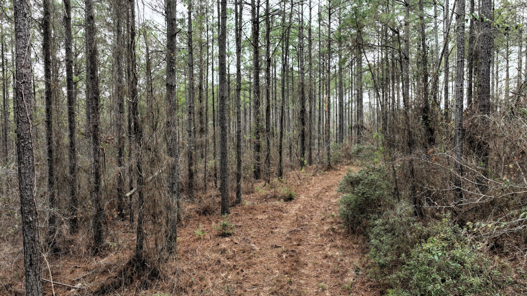
Independent Landowner Representation, From the Air and on the Ground
Southeast Forestlands works only for the landowner. We do not buy timber, we do not represent mills, and we are not paid by loggers. Aerial imagery is offered as part of forestry consulting in Mississippi and forestry consulting in Alabama — alongside timber appraisals, management plans, reforestation, prescribed burning, and herbicide application oversight. When aerial review identifies unauthorized cutting along a property line, we coordinate the timber trespass documentation and follow-up that the situation requires.
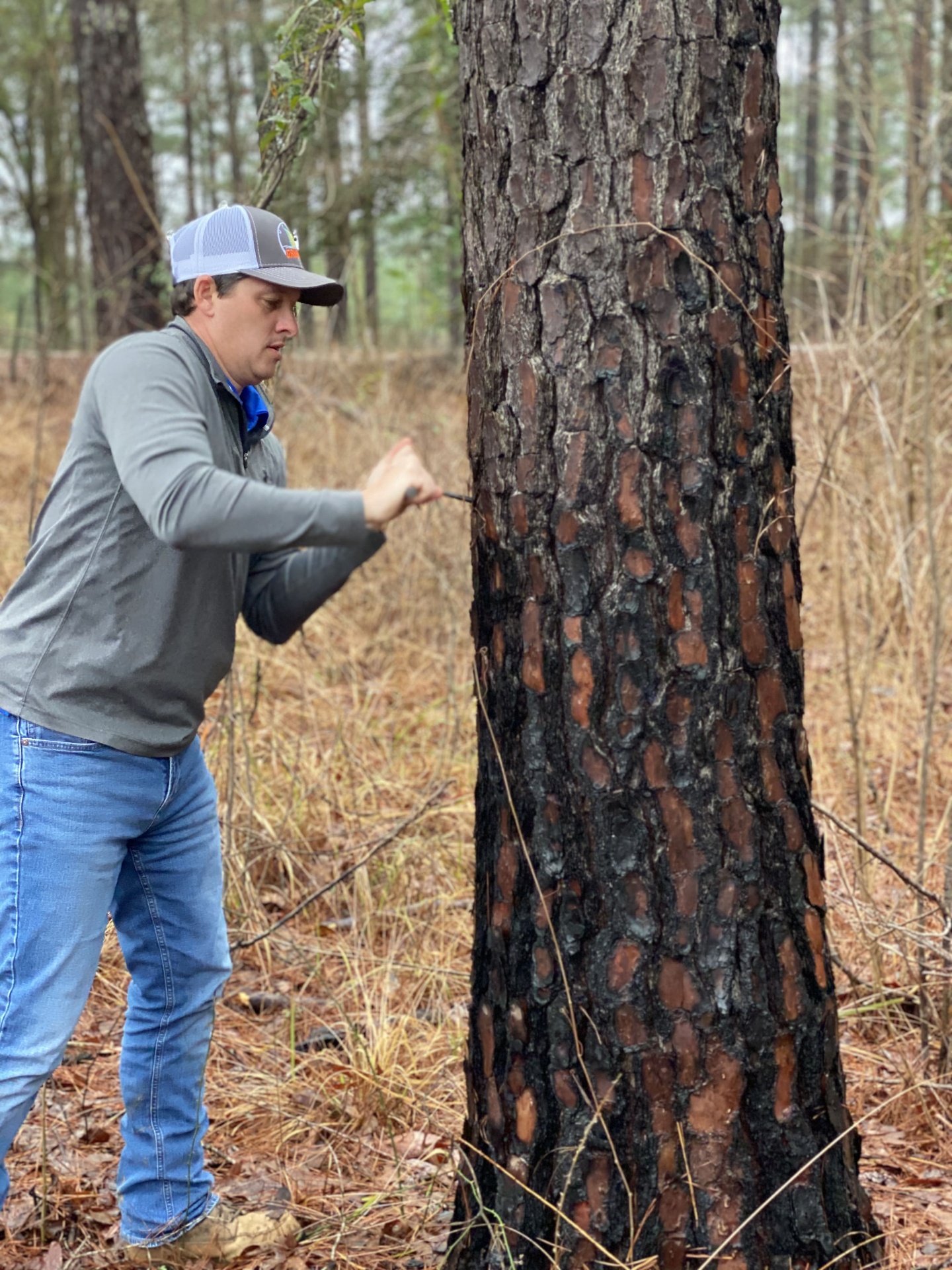
Commercial drone work over private timberland is operated under FAA Part 107. Remote-sensing applications in forest inventory are documented by the USDA Forest Service Southern Research Station, and landowner-facing guidance is published by MSU Extension Forestry. Flights and image analysis on Southeast Forestlands tracts are conducted by Eric Entrekin, Registered Forester (MS & AL).
Related Field Note: Drones in forest management.