
Educational Scenario
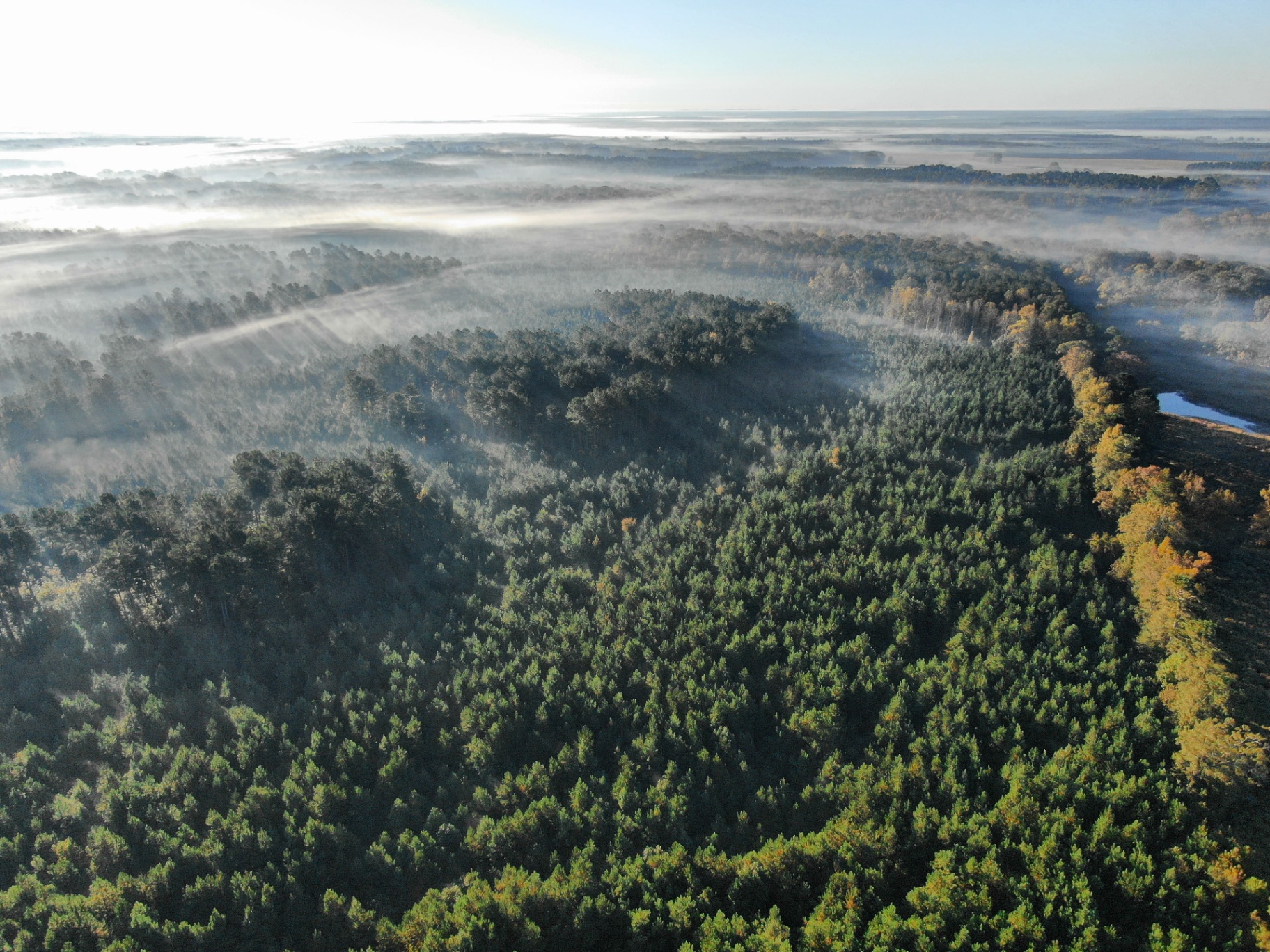
Educational field guide — not a completed Southeast Forestlands project. The scenario describes a multi-stand ownership with an outdated hand-drawn map, partial existing paint, and a recorded deed of record. It is used to illustrate how drone imagery is combined with existing documents to produce a planning-grade stand and boundary reference.
Landowner Objectives to Consider
Landowners in this situation commonly want a current picture of stand conditions before deciding whether to thin, final-harvest, or hold — and want to understand where a shared boundary actually falls before any activity is planned near it. Objectives vary and should be documented in advance.
What Drone Imagery Can and Cannot Do
Drone imagery may support planning, but it does not establish a legal boundary, confirm ownership, replace a licensed survey, or independently verify stocking or product volume. It also does not guarantee any particular prospectus quality or bid outcome. When any of those questions are in play, aerial imagery must be paired with the appropriate records, ground work, or licensed professional.
How a Forester May Combine Imagery With Ground Work
- If aerial imagery is appropriate for the question, obtain current high-resolution imagery and produce an orthomosaic keyed to visible reference features.
- Consult recorded deeds and available survey records; where a boundary is uncertain or disputed, engage a licensed surveyor before relying on any line for planning near it.
- Delineate visible stand types on the imagery, estimate acreage by delineated stand, and overlay streamside management zones — treating volume, stocking, and product-class questions as ground-cruise work.
- Label every boundary shown on a working map according to its source (deed line as depicted, paint line as observed, surveyed line). Do not represent a line as surveyed unless a licensed surveyor has established it.
How Landowners Should Read a Working Map
When reading a working map produced this way, landowners should check the source label on every line, confirm which acreage figures come from imagery delineation versus ground cruise, and distinguish planning references from surveyed lines. Any decision that depends on a legal boundary should wait for a licensed surveyor. Any decision that depends on stocking or product volume should wait for a ground cruise.
Takeaways for Landowners
- Aerial imagery is a planning aid, not a legal instrument.
- Boundary questions with legal weight belong to a licensed surveyor and to counsel where appropriate.
- Stocking and product-volume questions belong to a ground cruise, not to imagery interpretation.
- Every line on a working map should be labeled by its source so decisions are made on the right evidence.