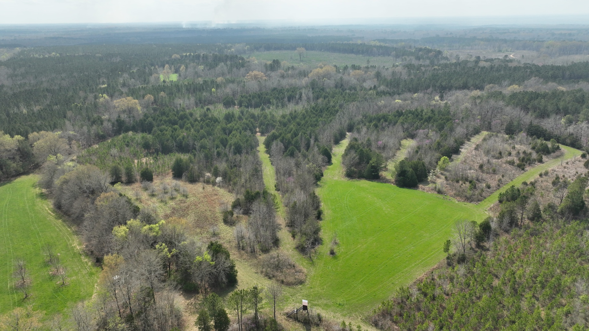
Franklin County sits in northwest Alabama around Russellville, in the Bear Creek country. Rock at or near the surface governs what grows here and what a harvest costs.
Southeast Forestlands works only for the landowner. We do not buy timber and we are not paid by mills.
Rock Is the Defining Feature
Two different kinds of rock land, sandstone and limestone, together make up the largest mapped area in the county on the soil survey.
That rock sets what can be planted, what can be reached, and what it costs to log.
Steep and Well Drained
Mapping puts better than seven acres in ten in well drained classes, with much of the county near twenty-five percent slope.
Water is rarely the problem here. Getting equipment safely onto the slope usually is.
Hardwood Ahead of Pine
Forest inventory estimates put oak and hickory at about half the forest land, with loblolly and shortleaf about a third.
The pine tends to sit on the smoother shoulders. The hardwood holds the rough ground.
Shallow Soil, Real Limits
Where rock is close to the surface, trees stay small no matter how long you wait.
Recognizing those acres early keeps you from spending planting money on ground that will not pay it back.
Bear Creek
Bear Creek and its forks drain much of the county and cut through rock. On tracts they touch, the crossing question comes up early.
Crossings there need to be planned and built, not improvised on the day the crew arrives.
Nearby Counties
We also work with landowners in nearby counties, including Colbert (AL), Lawrence (AL), Winston (AL), and Marion (AL).
General Guidance
For more on how we handle each part of the work, start with these guides:
- What a timber cruise measures
- How a sealed-bid timber sale works
- How we sell timber
- Wet-weather logging and BMPs
- Thinning decisions
- Regeneration and replanting
- All forestry services
Talk It Over First
Talk with a forester before deciding anything. Contact us to discuss your goals; the first review of your property generally happens online.