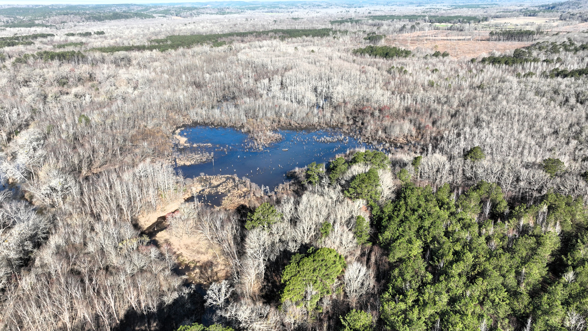
Lawrence County is split down the middle. North of Moulton it is gentle limestone valley, largely in crops. South of town the ground climbs onto stony plateau slopes, and the timber follows.
Southeast Forestlands works only for the landowner. We do not buy timber and we are not paid by mills.
The Line Across the County
The northern part is valley: Decatur and Etowah soils, gently rolling, largely farmed. The southern part climbs onto stony Muskingum slopes, mapped at twenty to forty-five percent.
Almost every management question here starts with which side of that line the tract is on.
Stony Ground South of Moulton
The plateau slopes are the largest single soil block in the county. They are steep, rocky, and shallow.
Equipment access there is the limiting factor, and it is the first thing that shows up in a bid.
Oak-Hickory Leads, With Pine and Oak-Pine
A cruise of mixed stands should tally species and products separately.
Wet Flats in the Valley
Poorly drained Robertsville flats sit in parts of the valley; check them on the ground before logging.
Those flats hold water long after a rain and will rut if worked at the wrong time.
Ground and Terrain
Describe each stand in the management plan rather than averaging conditions across the whole tract.
Land and soil figures: USDA-NRCS Soil Survey Geographic Database (SSURGO), retrieved through Soil Data Access and checked on November 5, 2026 against the survey versions published in September 2026. Percentages are rounded shares of the county's mapped acres, classed by each map unit's dominant soil; slope figures use the representative slope of each map unit's main soil, or the slope range in the map unit's name. County-wide numbers do not describe any one tract.
Forest figures: USDA Forest Service, Forest Inventory and Analysis, 2025 evaluation for Alabama and 2024 for Mississippi; county estimates rest on a limited number of field plots and carry wide margins of error.
Nearby Counties
We also work with landowners in nearby counties, including Colbert (AL), Franklin (AL), Winston (AL), and Lauderdale (AL).
General Guidance
For more on how we handle each part of the work, start with these guides:
- What a timber cruise measures
- How a sealed-bid timber sale works
- How we sell timber
- Wet-weather logging and BMPs
- Thinning decisions
- Regeneration and replanting
- All forestry services
Talk It Over First
Talk with a forester before deciding anything. Contact us to discuss your goals; the first review of your property generally happens online.