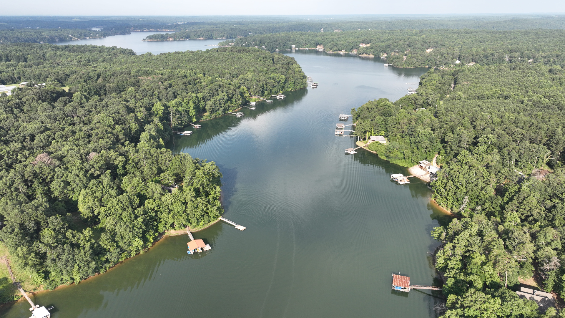
Walker County is Warrior coal basin country around Jasper. Most of it drains well and much of it is steep, and old surface mining has left its mark on parts of the landscape.
Southeast Forestlands works only for the landowner. We do not buy timber and we are not paid by mills.
Dry Ground, Steep Sides
Soil survey mapping puts nearly nine acres in ten in well drained classes, and about ninety-four percent of the county outside any flood class.
Wet weather shutdowns are less of a constraint here than on the wetter ground south of it.
But the Runoff Is Fast
Mapping puts about half the county in the slowest-infiltrating group, on shaly Townley and Montevallo ground.
Water does not soak in, it runs off. Road ditches and turnouts do more work here than buffers alone.
Very Steep in Places
Mapping shows channery Montevallo slopes of thirty to sixty percent across tens of thousands of acres.
On that ground the road plan is the harvest plan. There is no separating them.
Mined and Reclaimed Land
This is coal basin country and parts of the county have been surface mined and reclaimed.
Reclaimed ground is often compacted. Trees planted there grow slowly, and that has to be assessed on foot rather than assumed from a soil map.
Pine Leads, Hardwood Follows
Forest inventory estimates put loblolly and shortleaf as the largest share of forest land, with oak-hickory close behind.
Thinning questions dominate on the pine. Stand improvement dominates on the hardwood.
Nearby Counties
We also work with landowners in nearby counties, including Winston (AL), Jefferson (AL), Fayette (AL), Tuscaloosa (AL), and Marion (AL).
General Guidance
For more on how we handle each part of the work, start with these guides:
- What a timber cruise measures
- How a sealed-bid timber sale works
- How we sell timber
- Wet-weather logging and BMPs
- Thinning decisions
- Regeneration and replanting
- All forestry services
Talk It Over First
Talk with a forester before deciding anything. Contact us to discuss your goals; the first review of your property generally happens online.