"How do you put a number on timber that is already gone?" It is the most common question we hear on a suspected trespass or damage call. The short answer is that a forester rebuilds the stand from what is still on the ground — stumps, slash, skid trails, and residual standing trees — then prices that rebuilt stand against current product markets.
This Field Note walks through the field methods a registered forester actually uses to determine timber damage on Mississippi and Alabama tracts. Understanding the workflow helps landowners know what to protect on the ground, what to expect in a written report, and how a timber damage appraisal compares to a routine timber appraisal.
It Starts With the Boundary
Every damage cruise begins with the line. There is no point in counting stumps until everyone agrees which stumps fall on the landowner's side. The forester reviews the deed, any existing survey, prior timber sale plats, and adjacent property records. Where the line is unclear, the cruise pauses until a surveyor sets the controlling corners, or the cruise is scoped to a clearly identifiable portion of the line first.
Boundary work also catches the case where the line is fine but the trespass claim is misplaced — fresh cutting that turns out to sit on the cutter's own side. Either result protects the landowner from spending months on a case that should not have been opened.
The Stump Cruise
The core field measurement on a removal is the stump cruise. The forester systematically walks the cut and records each stump:
- Species. Bark pattern, wood color, and grain identify southern pine, hardwood species, and product class.
- Stump diameter inside bark. Measured with a tape, then converted to estimated DBH using regional stump-to-DBH equations.
- Estimated height and form. Reconstructed from the surrounding stand, residual trees, and any tops still on site.
- Product class. Pulpwood, chip-n-saw, sawtimber, poles — assigned by species, diameter, and quality indicators visible in the stump and tops.
- Cut age. Color, sap flow, weathering, and sprout response give a defensible estimate of when the cut occurred.
- GPS position. Every stump or plot center carries a GPS point so the cruise area can be reproduced on a map.
On large cuts the forester runs systematic plots rather than tallying every stump — the same plot-based methods used in a standing-timber cruise, applied in reverse.
Reconstructing Volume
Once species, diameter, and product class are recorded, the forester applies standard volume tables — local merchantable tables and stump-to-DBH conversions calibrated for the working timber type — to convert stump diameters into estimated standing volume by product class. The reconstructed inventory looks essentially like a pre-harvest cruise: tons of pine pulpwood, tons of chip-n-saw, tons of pine sawtimber, MBF of hardwood by grade.
On mixed-hardwood removals the volume work is the most technical part of the cruise. Hardwood grade depends on the bole of the tree, not the stump, so the forester has to make defensible quality assumptions based on the residual stand, the slash, and the local stand type.
Pricing Against the Current Market
Volume becomes value through current local stumpage. The forester documents the prices used, the period they cover, the geographic basis, and the source — regional price reports, comparable sales in the same wood basin, mill quotes, or auction results. Pricing assumptions are recorded so the value opinion is reproducible by another forester reviewing the file.
Where the cut was a partial removal in a managed stand, the report often includes a residual-stand damage component as well — skid trail damage to leave trees, soil disturbance, and reduced future merchantability. Those are forestry-recognized damages, separate from the value of the wood that was removed.
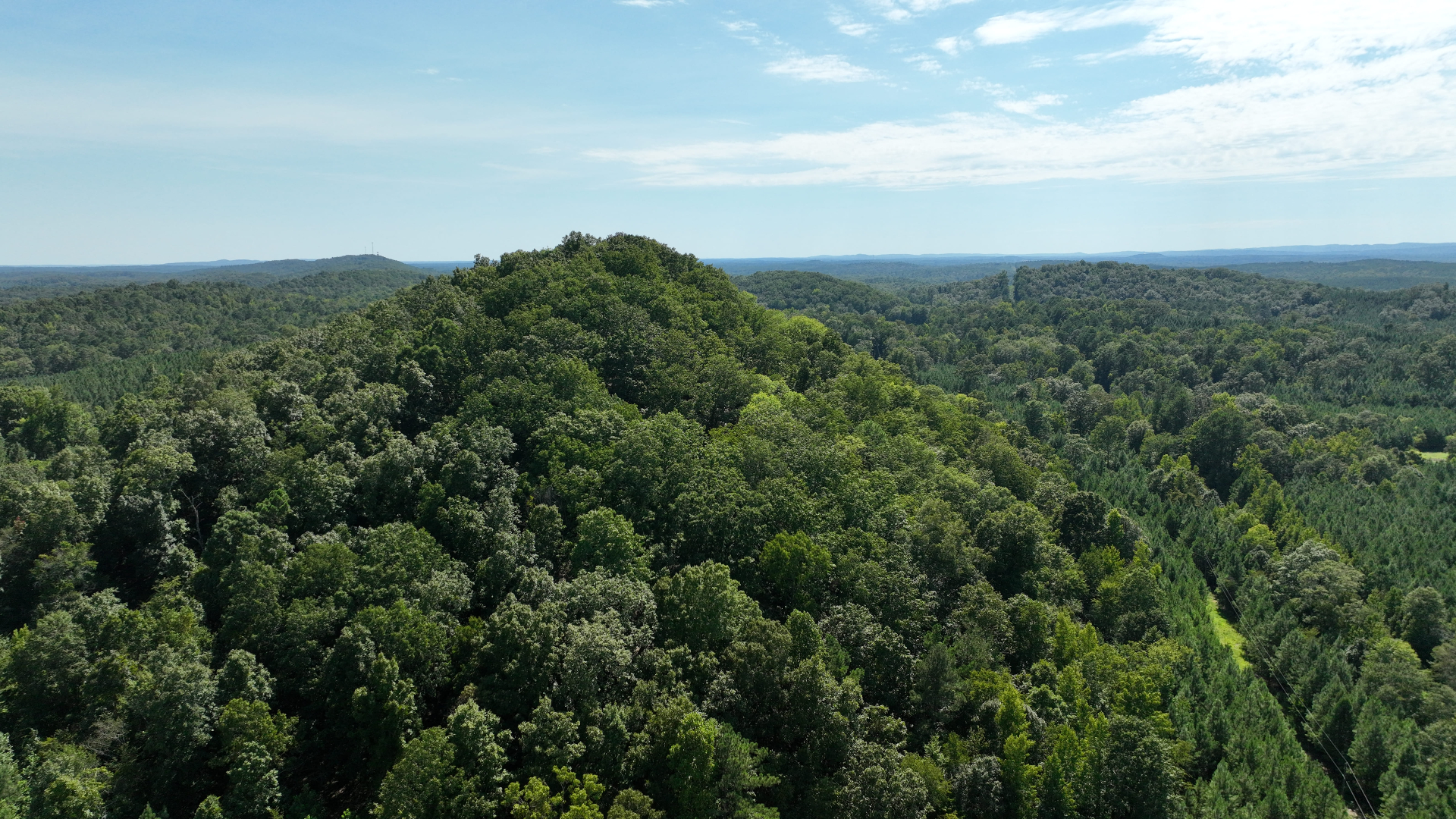
Aerial Imagery as Supporting Evidence
On most damage cruises today we fly the tract. A drone flight records the disturbed area in its current condition: the cut boundary, skid trail layout, decking areas, slash distribution, and where the crew accessed the site. Paired with historical satellite imagery, the flight establishes a clean before-and-after picture that supports the field cruise.
Aerial imagery is especially valuable on cuts that crossed water, rough ground, or heavy regeneration where ground photos are hard to compose. It also documents the scene as it sat on a known date, which matters as conditions change over the months that follow.
The Written Report
The deliverable is a written value opinion. A typical report includes:
- Scope of work and dates of inspection.
- Boundary basis and any surveyor coordination.
- Field methods — cruise design, plot layout, species and product calls, GPS coverage.
- Reconstructed inventory by species and product class.
- Stumpage assumptions with sources.
- Value opinion by product class and total.
- Residual-stand or site-damage findings, where applicable.
- Photo log and aerial imagery exhibits.
- Forester credentials and signature.
The report documents what the forester observed and the value of what was removed or damaged using standard methods. It is a forestry document, not a legal one.
Key Takeaways
- The boundary controls the cruise — resolve it before any volume work begins.
- Stump cruises rebuild species, diameter, height, and product class from what is still on the ground.
- GPS points and aerial imagery tie the field record to a specific date and a mappable location.
- A value opinion always discloses its volume tables, stumpage assumptions, and price period.
- Cruise quality drops as the cut weathers — the earlier the cruise, the stronger the report.
Talk With a Forester About a Damage Cruise
If you are facing a fresh cut, a storm-damaged stand, or a stand that was logged outside the agreed sale area, a registered forester can walk the tract and tell you what kind of cruise the conditions support. Contact Southeast Forestlands for a damage cruise, or browse our case studies to see how the documentation work plays out in the field.